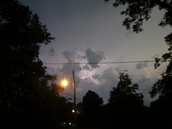
Stormy start to weekend
A severe thunderstorm watch for much of central and eastern North Carolina expired Friday night, but rain continued to fall north and south of the Triangle.
Posted — Updated
"None of this is severe," WRAL meteorologist Mike Maze said.
Earlier in the evening severe weather caused hail and lightning in some counties.
There were reports of quarter to ping-pong ball sized hail in Alamance, Wilson, Johnston, Robeson and Sampson counties.
Temperatures reached the high 80s under partly cloudy skies on a sticky Friday afternoon. The humidity lingered until an approaching cold front knocked it down in the evening.
"There's a lot of moisture in the atmosphere, and ... this is great fuel for thunderstorms," WRAL meteorologist Nate Johnson said.
The storms started forming in the northwest Piedmont in the early afternoon and moved east into central North Carolina in the early evening.
There is a slight risk that some of the storms that form Friday night could become severe.
The weather will calm down and cool down overnight after the cold front passes. Behind it, temperatures will drop a few degrees for the weekend, but the greatest relief will be lower humidity.
"This cooler, drier air is what's going to move in for the weekend and gives us a chance for at least a day without some thunderstorm activity," Johnson said.
Saturday and Sunday will be partly to mostly cloudy and see highs in the mid 80s. A few late-day showers might fall Sunday.


Copyright 2024 by Capitol Broadcasting Company. All rights reserved. This material may not be published, broadcast, rewritten or redistributed.


