Weather

Another record, and an end to triple-digit temps

The heat wave that has loomed over the Triangle is about to break. WRAL Chief Meteorologist Greg Fishel said there are no more 100-degree days in the immediate future.

Posted Updated

RALEIGH, N.C. — The mercury hit 100 degrees Tuesday for the fourth day in a row – breaking the previous record for June 10 of 97 degrees. Every day in June so far has been hotter than normal.

The heat wave has prompted near-record demand for electricity, according to area utilities.

Progress Energy reported peak demand Monday of 12,290 megawatt-hours, compared with the record of 12,656 megawatt-hours last Aug. 9. Duke Energy reported peak demand Monday of 18,228 megawatt-hours, compared with its record of 18,998 megawatt-hours last Aug. 8.

WRAL Chief Meteorologist Greg Fishel said there are no more 100-degree days in the immediate future, and the cool down could manifest itself in isolated late-afternoon thunderstorms and hail as heat and moisture are pushed up into the atmosphere.

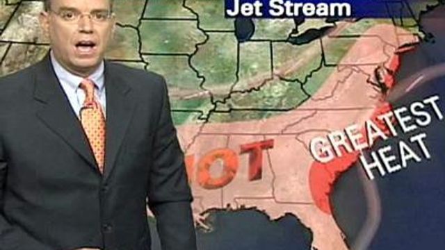
A pressure ridge has had the jet stream funneling hot, muggy air from the southwest over to the East Coast as far north as New York, meteorologist Mike Maze said. Computer models show that system beginning to break down, however, and daytime highs should be around 90 Wednesday and in the 80s for the rest of the week, Maze said.

Until then, however, nearly 50 North Carolina counties remained under a heat advisory until Tuesday evening.

“Yeah, (it’s) another hot day, but tomorrow, we expect it to be cooler,” Maze said. “Wednesday, we can’t rule out showers and storms.”

Wednesday will be cloudy with a cold front to the south. The atmosphere should be unstable enough to produce a few showers and storms especially in counties south of the Triangle later in the afternoon.

Copyright 2024 by Capitol Broadcasting Company. All rights reserved. This material may not be published, broadcast, rewritten or redistributed.