
We finished off the weekend over North Carolina and surrounding areas with a surface low pressure wave running up the coast and a strong, elongated jet streak approaching the state just ahead of an upper level trough to our west. That whole combination led first to an array of scattered to broken high cirrus clouds across the region Saturday and Saturday night, which produced some nice optical phenomena in the form of a very bright Sun Dog, or parhelia, to the right of the sun late in the day on Saturday, with either an Upper Tangent Arc or Circumzenithal Arc above the sun (that part of the display was rather fleeting, and as my memory sometimes can be as well, I'm not certain now how high above the sun that colored arc was located). Later Saturday night, slightly lower clouds in the form of high altocumulus, likely composed mainly of supercooled water droplets, formed a very nice Corona around the moon.
Later Sunday morning, before low clouds associated with the coastal low moved in from the south, we also had a fairly uncommon but not extremely unusual phenomenon associated with the same sheet of clouds that brought the late night coronae. Some of you may have been lucky enough to look up Sunday morning and see some "hole punch" clouds or "dissipation trails," both of which existed around the region for a few hours on Sunday when conditions were just right for their formation.
Those conditions primarily involve a fairly shallow sheet of clouds formed at an altitude where the air happens to be a bit lacking in "ice nuclei" needed for water vapor to freeze into ice crystals, but at a temperature well below freezing. When this is the case, the cloud is composed largely of supercooled water droplets. If a cloud layer of this sort is suddenly exposed to an increase in ice nuclei, a process called glaciation can rapidly occur, in which water vapor in the layer deposits onto the ice nuclei to form ice crystals. Once this happens, because the saturation vapor pressure over the ice crystals is lower than that over the liquid water droplets, thos droplets tend to evaporate, with the released water vapor freezing onto the ice crystals and causing them to grow. When the ice crystals grow to a sufficient extent, they begin to fall out of the cloud layer, having "scavenged" water from the cloud layer at the expense of many of the pre-existing supercooled droplets, most of which evaporate, leaving a clear hole in the cloud, often with a streak of falling ice crystals in the middle of the hole.
While there are some natural ways in which these holes might randomly be generated, a more common "trigger" these days is the passage of a jet aircraft through the cloud layer. As it happens, there are particles in the jet exhaust that have a structure appropriate for acting as ice nuclei. When these mix into the cloud, some will collide with supercooled droplets, causing them to freeze on contact, while others attract water vapor to freeze directly onto the particle, setting off the glaciation process I mentioned above. If the aircraft is ascending or descending at a steep angle, this process can "punch" a nearly circular hole in the original cloud. A shallower ascent may lead to an elongated, oval hole, and if the aircraft flies near or a little above the cloud level for a significant distance, then a long clearing line may be formed, known as a dissipation trail, or "distrail," named in contrast to the more common "contrail."
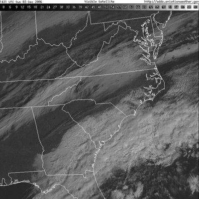
On Sunday, we had all three types of apparently aircraft-induced glaciation phenomena take place over NC and VA. The three satellite images below show the evolution of the event from around 9:30 - 11:30 am. In the first image, you can see several black "spots in the cloud cover from a little northeast of Charlotte up into central Virginia, and also in a streak of cloud cover running east from the mouth of Chesapeake Bay. In the second image, the holes have moved smartly to the northeast (winds at cloud level were southwesterly about 90-95 mph) and you can make out a few contrails well above the cloud layer and casting shadows on it (thin lines running NNE to SSW around Richmond and near Greensboro, for example). Finally, in the last image, it appears an aircraft that may have departed from RDU or elsewhere in the vicinity headed northwest (to Chicago, Cincinnati, Wright-Patterson AFB, who knows?) and stayed close enough to the cloud deck to leave an elongated distrail marking its path. This distrail was also swept along to the northeast by strong winds at cloud level.
These phenomena take on a very unique appearance from below, and have been documented widely in photographs available around the web, such as this hole punch photo taken around Mobile AL, and another example shot in Wisconsin. If any of you out there saw and photographed this event, feel free to send us some images (weather@wral.com) and we'll share them here. Chris Thompson was out yesterday and said he saw the holes, and was kicking himself for not having a camera handy!
Finally, here is an animation of 9 satellite images covering the time span of the three posted above (click on the image to run the loop - the images will be more detailed than those above)...


