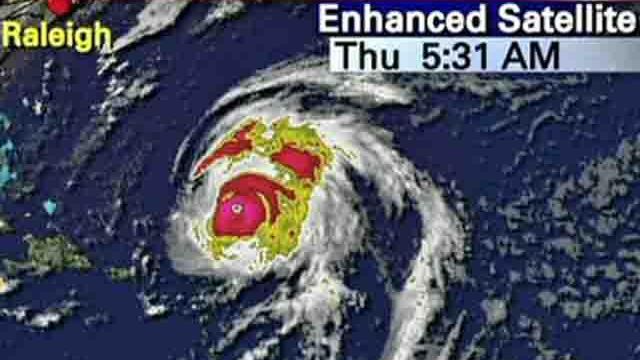
MIAMI — Hurricane Bill howled over the open Atlantic as a dangerous Category 4 storm Wednesday, and it could be energized by warmer waters as it moves north.
"We expect more intensification," WRAL meteorologist Mike Maze said. "Bill could have top winds Thursday afternoon of 145 mph."
Forecasters said Bill should begin pushing large swells toward Bermuda and parts of the southeastern U.S. coast by the weekend, but it wasn't yet clear how close the storm will come to land.
The National Hurricane Center also said people in the Leeward Islands should keep an eye on the storm, though its core was expected to pass well to the northeast of the chain in the next 24 hours. Fishermen in Antigua were advised to dock their boats.
As strong as Bill already is, it could get stronger because it's traveling into warmer waters in the Atlantic that could intensify the storm, said senior hurricane specialist Lixion Avila.
"The warm ocean is like the fuel for car," Avila said Wednesday. "If you get high octane gas you get more power – that's what warmer water does."
Bill was maintaining a top wind speed of 135 mph Wednesday, hours after it became a Category 4 storm, and forecasters said it could get stronger. The storm's center was located 335 miles east of the Leeward Islands and it was moving west-northwest near 20 mph.
Richard Pasch, a senior hurricane specialist at National Hurricane Center, said there's no reason for the storm to weaken over the next few days. While the path is taking it mostly over the water, Pasch said the effects of the storm are going to be felt well removed from the center.
Computer models continue to keep the storm's path away from the eastern coast of the United States.
"We can't be absolutely sure, but we're feeling pretty good about it," Pasch said.
Islands in the northeast Caribbean could see bigger waves from the storm in the next day or two.
The most significant threat could be to Bermuda, which the storm could pass in three or four days, forecasters said. But it also could move directly between Bermuda and the eastern coast of the U.S. without making landfall.
It was too early to tell if Bill would veer close to shore over the weekend or swing away from the East Coast of the U.S., but the five-day forecast predicted its center would pass well offshore of the North Carolina-Virginia line Saturday.
"In terms of a direct hit – a landfall in North Carolina – ain't gonna happen," WRAL Chief Meteorologist Greg Fishel said.
North Carolina could feel some effects of the storm through the weekend.
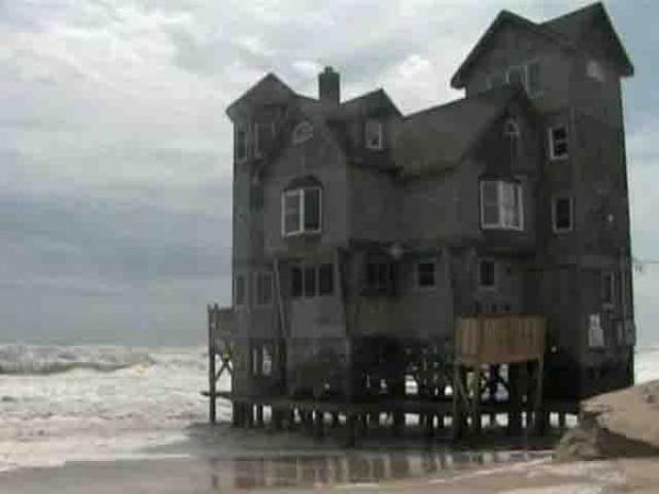
Fishel said waves could be higher than 10 feet in some areas. "That raises the possibility of coastal flooding, especially at high tide, and ocean overwash on Highway 12," he said.
Effects could include heavy surf, some beach erosion and maybe rip current danger.
A cold front was expected to turn Bill to the northeast, but it wasn't clear when that would happen, Blake said.


